
Virginia's Triple Crown Loop Backpacking Guide
/
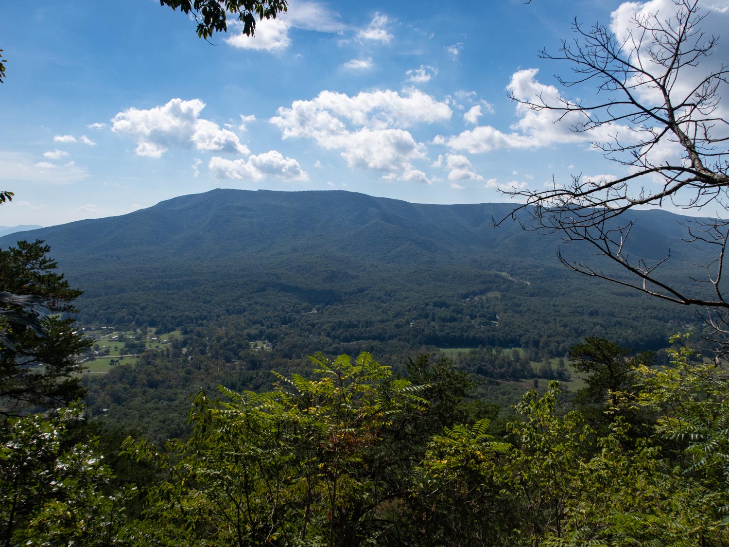
Mcafee knob
This article may contain affiliate links.
The Blue Ridge Mountain range runs right through the western part of Virginia offering many backpacking opportunities. One of the most notable routes is Virginia’s Triple Crown. The hike uses the Appalachian Trail as well as several other footpaths to create a loop. Throughout this backpacking adventure you will get a chance to conquer three of the regions most spectacular overlooks: McAfee Knob, one of the most photographed spots along the AT; Tinker Cliffs, which offers 180-degree views of mountain ranges and amazing sunsets; and Dragon’s Tooth, a rock-scrambling climb to a unique jagged peak.
Trail Facts
Length: 38.5 Miles
Duration: 3 Days
Elevation Gain: 6,874 Feet
Peak Elevation: 3,197 Feet
Best Season to Hike: Spring through Fall
Difficulty Level: Strenuous
Bear Canisters: Not Required
Permits: Not Required
Dogs: Allowed but not recommended
Highlights
Spectacular Overlooks
Photo Ops
Unique Rock Formations
Appalachian Trail Community

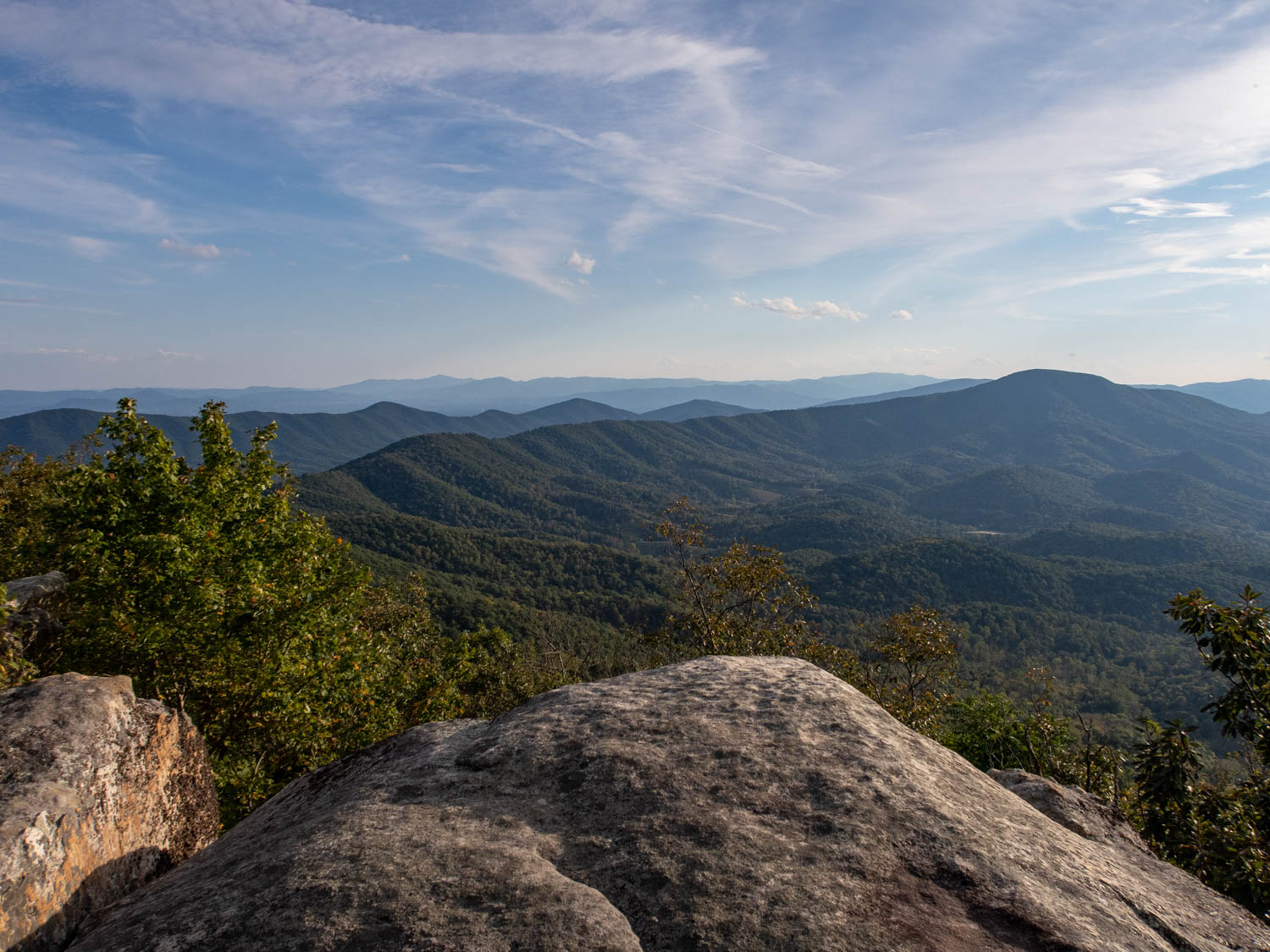
Tinker Cliffs
Maps
The 1504 National Geographic (Bailey Gap to Calf Mt.) Map: For finding your way, I recommend the always dependable National Geographic waterproof map. It will provide you with elevation profiles, mileage, shelter locations, and water sources.
Note: For the National Geographic map, the 2.5-mile Catawba Valley Trail from the Andy Layne Trailhead to the top of North Mountain isn't on the map. You will have to physically draw it in or make a mental note of it prior to your trip (refer to the interactive map below).
AllTrails App: This is a great hiking app for navigating this trail. It utilizes your mobile phone’s GPS to locate and track your position on a topographical map. It provides you with elevation profiles, mileage, campsite/shelter locations, water sources, and points of interest.
Parking
I recommend parking at the McAfee Knob Trailhead which is off Route 311 in Catawba, VA. You will want to arrive at the parking area early, especially on busy weekends, because this parking lot fills up fast. When I did this hike, my family and I barely got a spot for our vehicle. In a worst-case scenario where you can’t find a parking spot, you can park your car at the Dragon’s Tooth trailhead which is 4 miles north on Route 311, and then hitch a ride back to the McAfee Knob trailhead. See the interactive map below for the specific parking and trailhead locations.
Virginia’s Triple Crown Slideshow
Accommodations
If your traveling far and need a place to stay before or after your hike, I recommend getting a room at ether La Quinta Inn or the Holiday Inn Express in Salem, VA near I-81. The hotels are only 7 miles away form the trailhead. Click the links for current prices.
Terrain
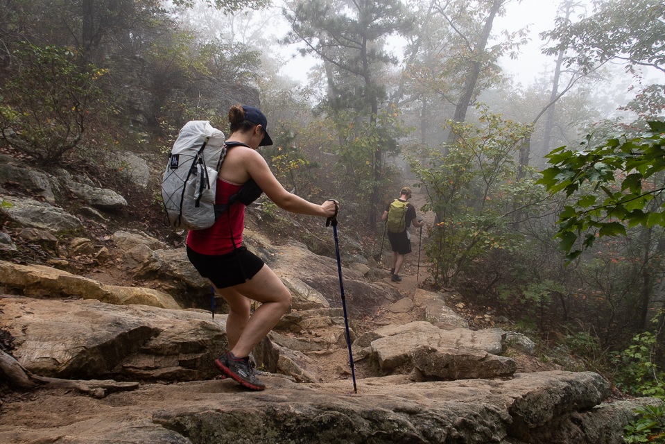
The overall terrain on this hike will be challenging due to several steep climbs. For instance, hiking to the top of North Mountain involves a 1500’ climb with many switchbacks. Another area that will test your fitness is the climb up to the Dragon’s Tooth Overlook. It involves a 1700’ ascent and a rock scramble for the last 0.8 miles to the top.

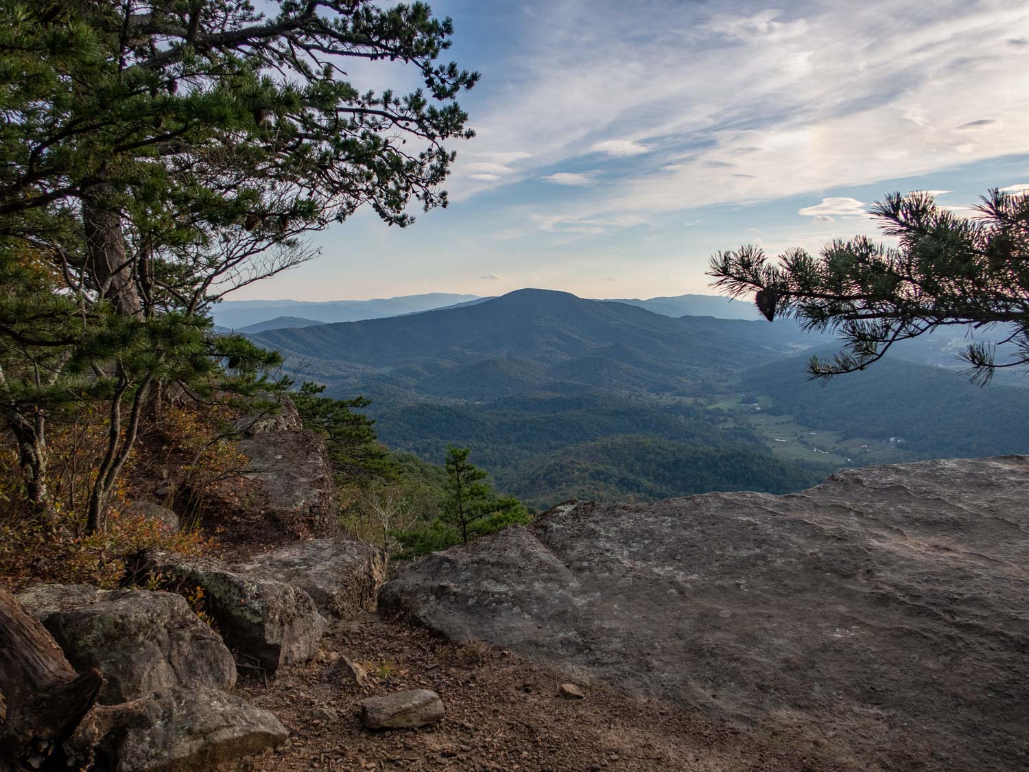
The Climb to Dragon’s Tooth
Dangers
The biggest danger for this hike would be the rock scramble I mentioned earlier near the top of Dragon’s Tooth. Here the trail will cling to the side of the mountain while you will have to navigate over boulders. At two different points because of the difficult terrain there are metal u-shaped bars embedded in the rock to serve as a ladder to aid you in climbing. Also, there are certain places where it’s not always apparent where your next step should be so it’s important to take your time and make sure your footing is secure. One misstep could lead to serious injury.
Bears are also something you will want to take note of on this hike. There have been sightings of bears in the Lamberts Meadow Shelter and Campsite area. The great thing is that at the camping area, there are bear boxes to help protect your food during the night. When I did this hike, I personally saw no bears and did not hear of anyone else having any issues.
Bugs
Overall bugs in this area are not a huge concern. Certainly, some years can be worse than others, due to a mild winter or an unusually rainy season. When I hiked this trail, I personally didn't have any issues. Although it’s always good practice to use some sort of bug repellent because you never know. I recommend using Picaridin Spray for mosquitoes on any exposed skin and Permethrin Spray for your clothes to guard against ticks
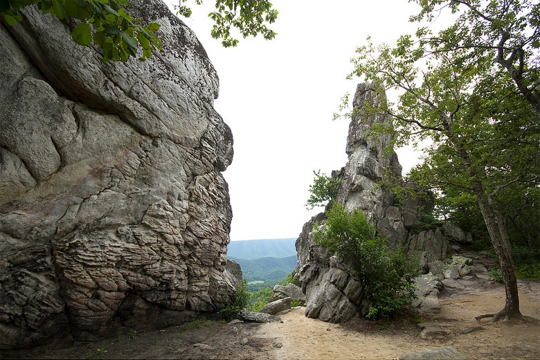
Photo by virginiatrailguide.com of Dragon’s tooth

photo by virginiatrailguide.com of the Dragon’s Tooth overlook
Water Sources
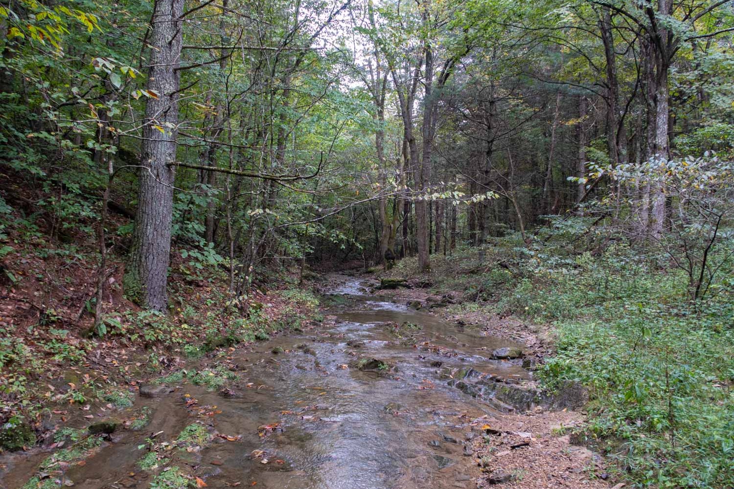
Water is scarce on this particular hike. On the first day, you will only find water sources at the AT shelters. On the second day, it’s even worse, with water only at your campsite and just two streams early on in the day. After that, there’s no water for 12 miles until you reach your next campsite. The last day is the easiest day to find water with multiple streams along the route.
I strongly encourage you to have a good water plan before you go on this hike. If you’re not sure how to come up with one. Check out my article on how much water you should carry when backpacking.
Also, to help you out, I have many of the water sources marked on the interactive map below so you can plan accordingly. Make sure to also filter your water here because giardia and bacteria are a concern. One of the best water filters on the market is the Sawyer Squeeze because it’s lightweight and has a fast flow rate.
Camp Spots & Shelters
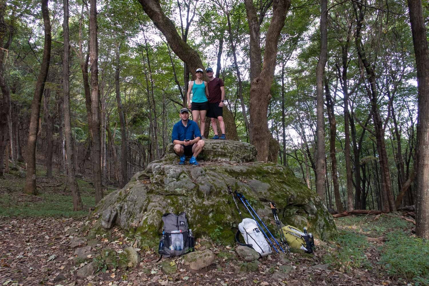
There are several nice camping areas throughout this hike. On the first night, I recommend staying at the Lamberts Meadow Shelter and Campsite because it’s a beautiful spot, convenient location, and it has a composting privy too. On the second night you really only have one choice and that’s to stay at the campsite where the Dragon’s Tooth Trail intersects with the Boy Scout Trail. It’s not as nice as the first one, but it is conveniently located near the base of the Dragon’s Tooth Overlook and has a nice water source.
One thing to keep in mind though is that on the Appalachian Trail section of the loop camping is restricted to 7 specific designated areas. Also, the Andy Layne Trail runs right through private land so camping is not permitted there. Other than that, you’re free to camp wherever you want to. Check out the interactive map below for exact campsite and shelter locations.
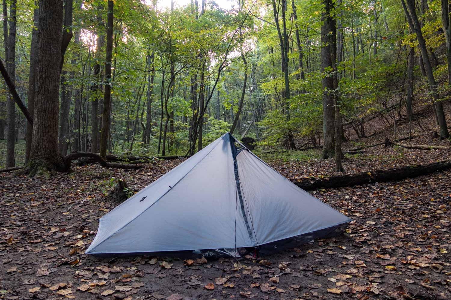
Lamberts Meadow Campsite
Trip Itinerary
Day 1: (12.9 miles)
Begin at the MacAfee Knob Trailhead off of Rt. 311 in Catawba, VA
Hike steadily uphill on the AT (Appalachian Trail) passing by the Johns Spring Shelter in 1.1 miles and the Catawba Mountain Shelter and Campsite in 2.2 miles.
After that you will continue to climb in elevation and at mile 3.8 you will have reached MacAfee Knob where you will be able to enjoy amazing views of the Catawba Valley and North Mountain Range.
After taking time to appreciate the views, continue on the trail by descending 0.7 miles through a boulder maze and arrive at the Campbell Shelter and Pig Farm Campsite (you can refill your water bottles at the shelter’s spring).
Pass by the shelter and campsite and descend further in elevation. After a while, the trail will flatten out and then start to climb in elevation again. In 7.1 miles you will arrive at Tinker Cliffs and enjoy more great views.
When you’re done soaking in all the views at Tinker Cliffs, continue on the trail for 0.6 miles by descending down to Scorched Earth Gap. Here you will arrive at the intersection of the Andy Layne Trail and AT. Continue to follow the AT downhill for 0.7 miles and you will arrive at the Lamberts Meadow Shelter and Campsite. This is where you will stay the night.
Day 2: (15.6 miles)
Start your day by retracing your steps 0.7 miles back up to the Andy Layne Trail and AT intersection. At the intersection turn right onto the blue blazed Andy Layne Trail for 2.6 miles and begin to descend rapidly in elevation through many switchbacks. You will eventually arrive at the Catawba Creek (strongly recommend for you to top off your water bottles here).
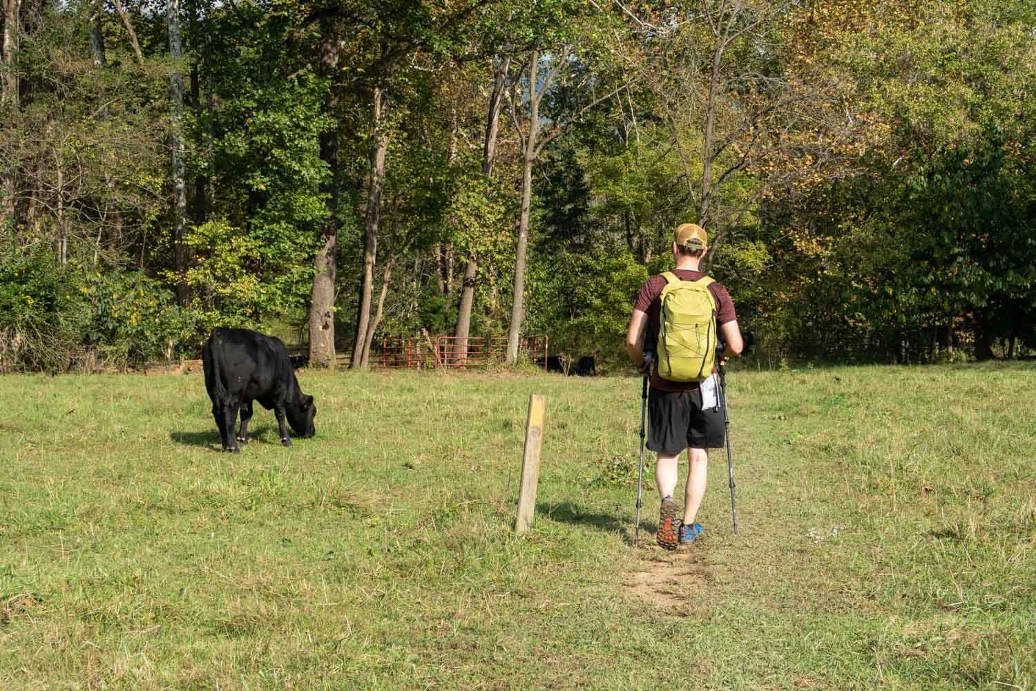
Cross the bridge and hike through an open cow pasture and then come to another creek with a bridge (do not use this creek as a water source because of the cows). Cross this second bridge and pass by and around many more cows. The trail will then bear left and reenter into the woods. Continue to hike for 0.5 miles and you will come to the Catawba Rd.
Cross over the road and enter into the Jefferson National Forest. Follow the very steep, blue-blazed Catawba Valley Trail to the top of North Mountain for 2.5 miles. At the top of the Mountain you will have reached the intersection with the North Mountain Trail.
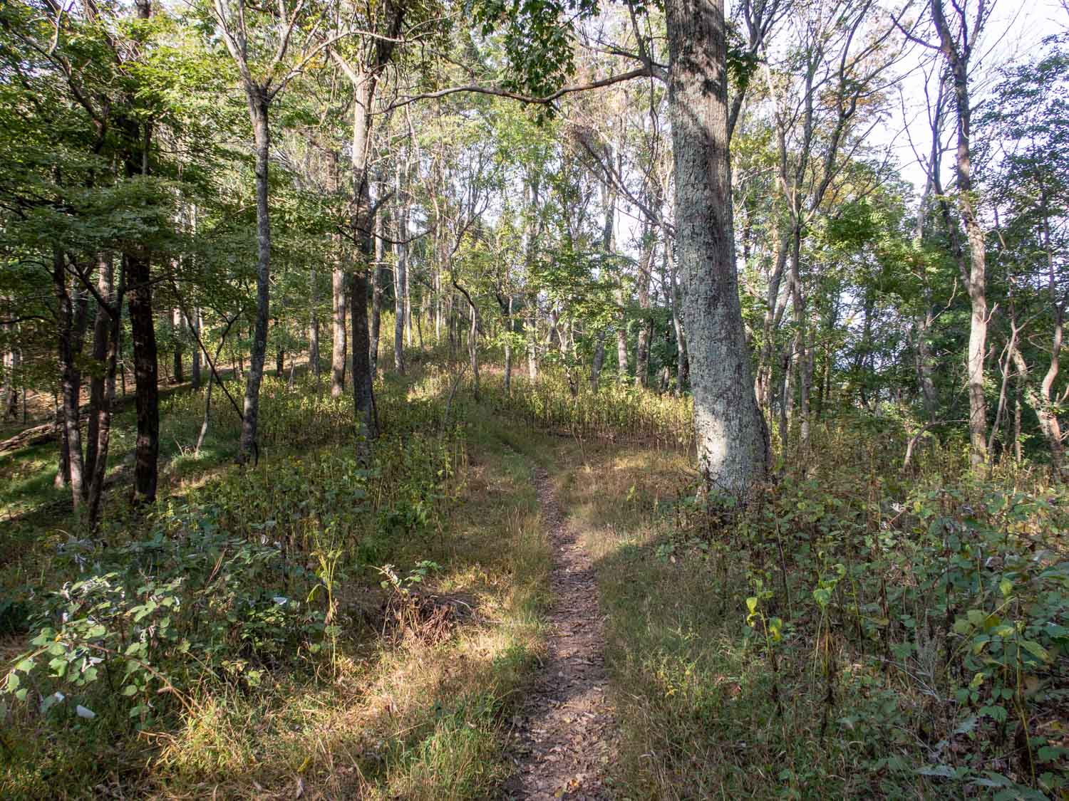
Turn left onto the yellow blazed North Mountain Trail where you will ride the ridgeline for about 9 miles through relatively mild ascents and descents (there are no water sources along this section of trail).
Eventually you will drop down from the North Mountain to Route 311. When you reach the road, walk on the shoulder northbound for about 100 feet and then crossover to the Dragon’s Tooth parking lot. At the back end of the parking lot you will find the Dragon’s Tooth Trailhead.
Follow the Dragon’s Tooth Trail for 0.3 miles uphill and arrive at a intersection with the Boy Scout Trail. Here you will find several campsites. This is where you will camp for the night.
Day 3: (10 miles)
Begin your day by hiking uphill on the Dragon’s Tooth Trail for 1.3 miles. Then you will reach the intersection with the AT.
Turn right onto the AT and you will start to see the terrain become very challenging for the next 0.7 miles with lots of rock scrambles and steep rock ledges. When you make it through the rocky section, you will arrive at an intersection with the AT and a spur trail.
Take a left onto the blue-blazed spur trail for 0.1 miles and arrive at the spectacular Dragon’s Tooth Overlook (make sure to circle behind the tooth, as there is a crevice that makes it possible to climb the tooth and enjoy better views of the mountains).
After checking out the Dragon’s Tooth Overlook, retrace your steps 0.8 miles back down to wear the AT and the Dragon’s Tooth Trail intersect.
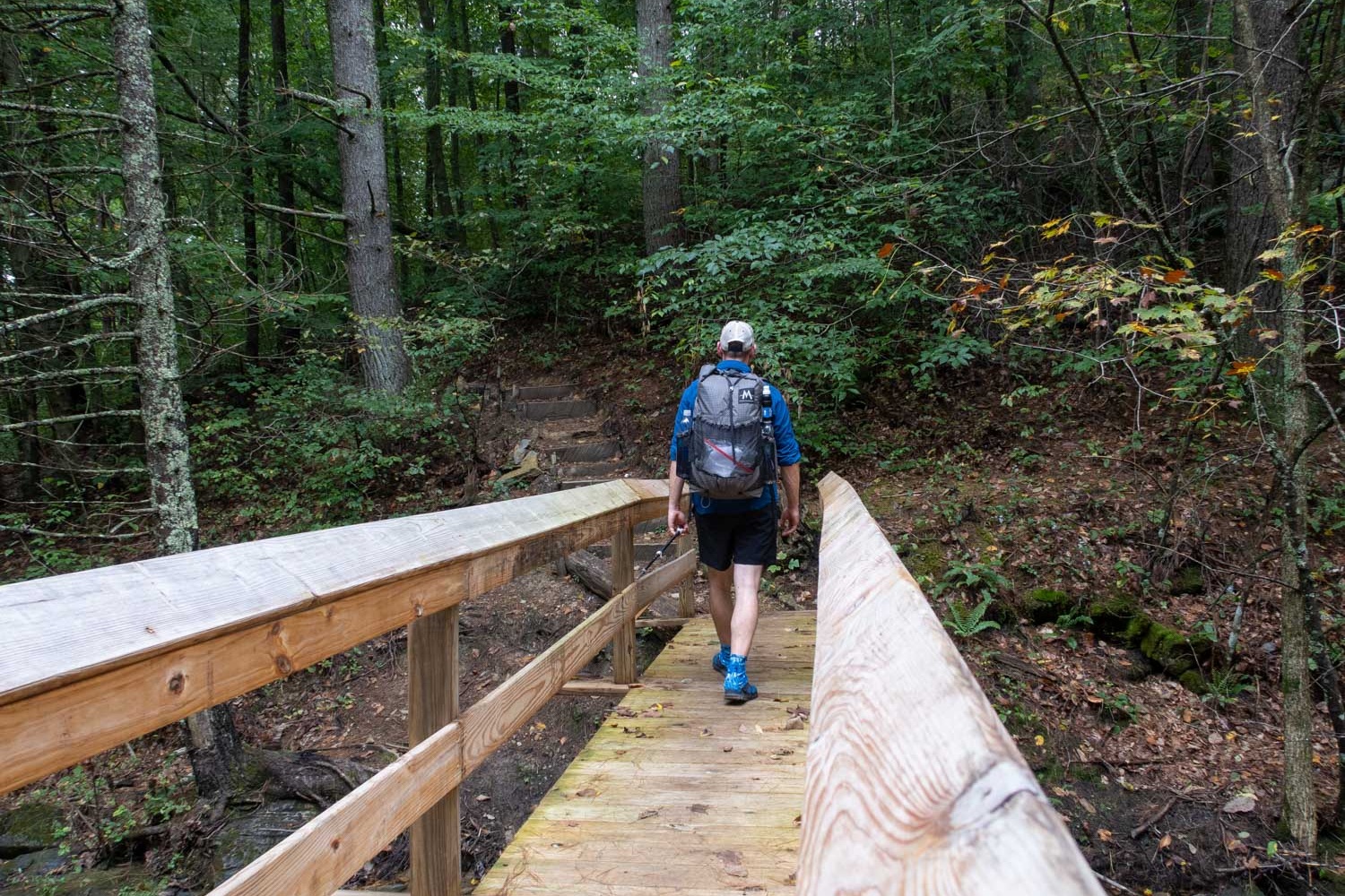
Continue straight on the AT and make your way down to Route 624 in 1.5 miles. After crossing the road, switchback 0.3 miles up to a low ridge and continue for about 0.6 miles. Then you will cross a stream via a bridge.
You will then follow the stream for about 0.3 miles, passing by the ruins of an old mill. Then the trail will bear away from the water and you will come out of the woods and enter a beautiful pasture with mountains in the background.
In another 0.3 miles you will reach Route 785. Cross the road and enter one more pasture. In about 0.1 miles you will cross another stream via a bridge.
Continue on uphill, away from the stream, hiking towards Beckner Gap, following a power line. The trail will eventually veer left away from the Gap and reenter the woods. Here you will climb up steep terrain with many switchbacks to the top of Catawba Mountain.
Once at the top of Catawba Mountain you will stay on the ridgeline for 3 miles enjoying views of Catawba Valley every once in a while. Eventually you will make your way to Route 311 where you began your hike, at the MacAfee Knob Parking lot.

Click Here
to an interactive CalTopo map
Related Articles
Three Ridges Loop Backpacking Guide
The Three Ridges Loop is located in the George Washington National Forest of Virginia. Throughout this hike, expect several steep climbs and rock scrambles. However, all your effort will be rewarded with many amazing views of the surrounding Blue Ridge Mountains.
Mount Rogers/Grayson Highlands Loop Backpacking Guide
The Mount Rogers/Grayson Highlands loop is an iconic section of the Appalachian Trail, located in the southwestern hills of Virginia. Here you’ll get to experience vast mountain views, wild ponies roaming about, and hike through many rock outcroppings on the trail.